
2
Repos
8
Stars
3
Forks
1
Watchers
🏆 Show off this rank
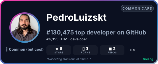


Add it to a GitHub README or profile — the card updates as the ranking changes:
Repositories (2)
florestas-publicas-brasil
PedroLuizskt/florestas-publicas-brasil
Jupyter Notebook
Análise geoespacial do Cadastro Nacional de Florestas Públicas (CNFP 2024) — WebMap interativo via GitHub Pages
4
0
etl-geoespacial-gee-ftl
PedroLuizskt/etl-geoespacial-gee-ftl
HTML
Aula magna do Future Tech Leaders Brazil (AEB + SDG AI Lab): pipeline ETL geoespacial que extrai precipitação por satélite (CHIRPS via Google Earth Engine), calcula anomalias e publica um WebMap interativo. Notebook didático, pacote Python e apostila.
4
3