
1
Repos
43
Stars
2
Forks
0
Watchers
🏆 Show off this rank
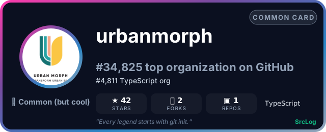



Add it to a GitHub README or profile — the card updates as the ranking changes: